Submerged sandbanks shine like underwater auroras in astronaut's view of the Bahamas — Earth from space
A 2016 astronaut photo of the Bahamas shows a series of luminous, rippling sandbanks partly carved out by a coral reef. The image also reveals subtle differences in the ocean's surface caused by a steep, hidden ocean drop-off.
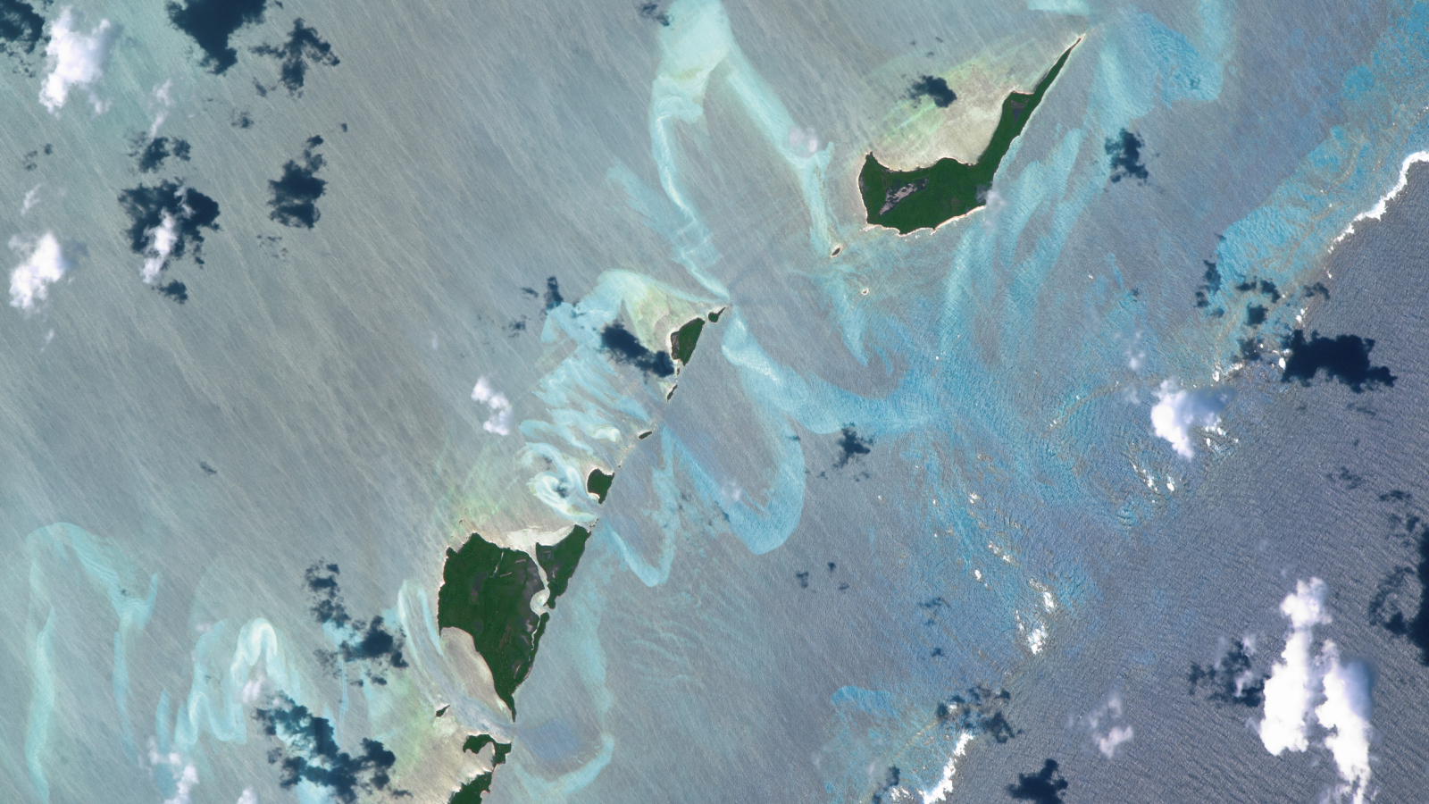
An astronaut was able to perfectly capture the swirling, "fluorescent" sand banks that twist and turn around a series of cays in the Bahamas. The sandy swirls were partly sculpted by a coral reef that bisects the bottom right corner of the image. (Image credit: NASA/ISS program)
QUICK FACTS
Where is it? Carter's Cays and Strangers Cay, the Bahamas [27.105580266, -78.06669135]
What's in the photo? Underwater sandbanks and a coral reef surrounding a pair of small islands
Who took the photo? An unnamed astronaut on the International Space Station (ISS)
When was it taken? Oct. 20, 2016
This intriguing astronaut photo shows off a series of rippling sandbanks surrounding a pair of small islands in the Bahamas. The submerged swirls were partly carved out by a coral reef lurking on the edge of a hidden ocean "drop-off."
This photo shows a series of intricate sandbanks and a shallow barrier-like coral reef in the waters surrounding two diminutive islands — Carter's Cays (lower left) and Strangers Cay (upper right). The islands are two of the northernmost landmasses in the Bahamas, located around 125 miles (200 kilometers) east of Florida. (For context, Strangers Cay is around 2.2 miles (3.6 km) across at its widest point.)
The sand banks, which can be seen winding in and around the two cays like ribbons, have been sculpted by decades of unchanged ocean currents, causing sand to pile up in the same place over time.
But the coral reef — which cuts across the bottom right corner of the image and has waves breaking across its far edge — is much older, having likely built up over several millennia.
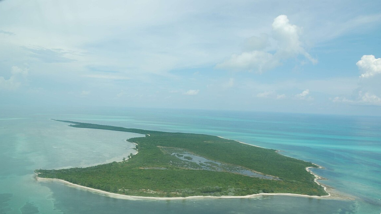
Strangers Cay is one of the northernmost islands in the entire Bahamas. (Image credit: UnderTheSea/Wikimedia)
The largest and most prominent sandbank, which looks like a giant U-shape in the center of the image, lies directly opposite a large gap in the coral reef. This is no coincidence: The break in the reef has created a strong and sustained tidal flow that has pushed the sand much further backward, according to the Earth Observatory.
These sand swirls are fairly small compared with some of the larger sandbanks in the region. The biggest is the , which covers an area of around 80,000 square miles (210,000 square kilometers) off the Exuma Islands in the central Bahamas and supports a massive seagrass ecosystem.